by Lee Chacon
Share
by Lee Chacon
Share
The High Road and Low Road to Taos are two different drives. The High Road is the mountain-village route associated with Chimayo and the communities toward Ranchos de Taos. The Low Road follows the more direct valley and Rio Grande corridor, including NM-68 through Alcalde.
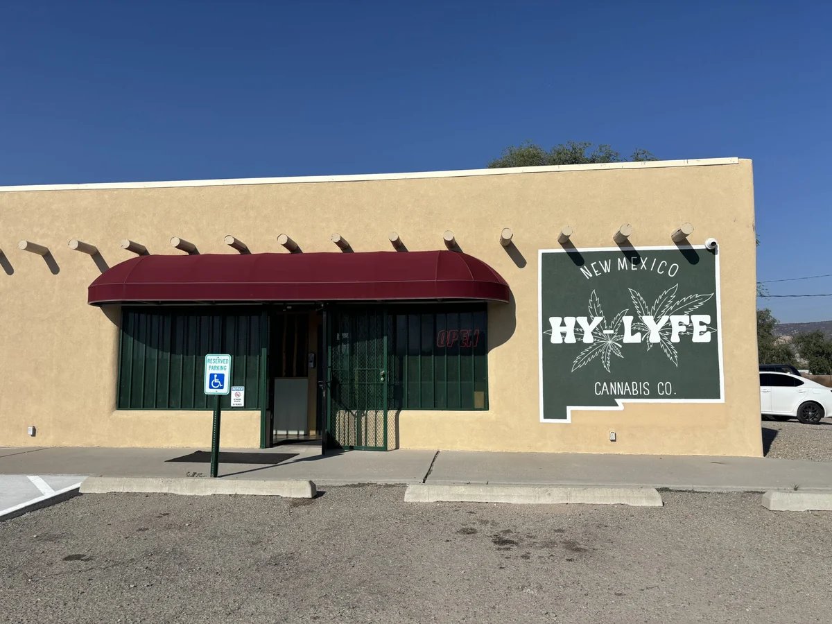
That distinction matters if NM HyLyfe is part of your plan. We are at 701 NM-68 in Alcalde, just north of Espanola, on the Low Road corridor. Do not assume a stop here sits directly on every High Road itinerary. Choose the drive you want first, then put the actual stops into your route.
Choose the High Road for a village-and-mountain itinerary
The New Mexico Tourism Department’s High Road guide introduces a route through historic communities and mountain scenery toward Ranchos de Taos. Chimayo is one of the well-known places associated with that drive.
This route suits a day when the stops are part of the purpose. Pick the galleries, churches or village destinations you want to visit and verify their current opening information. A scenic route description does not guarantee that every business or cultural site is open when you arrive.
Keep the itinerary flexible. A list of ten pins can turn a scenic day into a race between closing times. Choose a few priorities, allow time to park respectfully and check the rules at each property. Religious and cultural places remain real community spaces, not simply backdrops for a photograph.
Choose the Low Road for the Rio Grande corridor
Taos’s official transportation guide describes the Low Road as the more direct route from communities to the south, following farming areas and the Rio Grande before the approach to Taos. It is a scenic option in its own right.
For a stop in Alcalde, enter the street address rather than searching for an approximate location near Taos. NM HyLyfe is north of Espanola on NM-68. It is not a Taos storefront or a Santa Fe storefront, and your plan should use the actual location.
The Low Road stop guide covers the dispensary visit in more detail. This comparison helps you decide how that stop fits the broader drive, including whether your return trip uses the same corridor.
Compare the routes by the day you want
- Village and gallery priorities: start by mapping the High Road destinations you actually intend to visit.
- A more direct valley drive: investigate the Low Road route and its Rio Grande scenery.
- A stop in Alcalde: include 701 NM-68 explicitly in the navigation plan.
- A loop: plan the outward and return routes separately, including business hours and daylight.
- Limited time: reduce the number of stops before assuming you can make up time on the road.
We are intentionally not giving one guaranteed travel time. Your starting point, stops, road conditions and traffic change the answer. Use current navigation and the state’s road information for the day you travel, then leave room for delays.
A loop needs two plans, not one long guess
Some visitors choose one route toward Taos and the other on the return. If that is your plan, decide which stop belongs on which leg. An afternoon in a mountain village does not automatically leave time to reach every valley business before closing.
Write the must-do stops in order and note any fixed closing times. If a shop or destination is essential, call ahead. If your plan changes while you are out, revise the remaining stops instead of speeding or trying to force the original schedule.
Check road and weather information before leaving
Use NMRoads for current New Mexico road information and check a current forecast for the places you will travel through. A forecast for central Santa Fe does not describe every stretch of a mountain or valley route.
Save the addresses you need before departure and give the driver a clear plan. Check fuel, phone charge and the route back to your accommodation before adding optional stops; those practical details matter more than fitting one extra pin into the day. Do not rely on a blog post for live road status. If conditions or visibility make a route uncomfortable, change the itinerary. A scenic drive is still a drive, and the best route is one you can travel safely that day.
Fit a dispensary visit around an unimpaired drive
A shopping stop is not a consumption stop. Keep the driver unimpaired throughout the trip and do not consume cannabis in the vehicle. A purchase also does not give permission to use cannabis at a public overlook, park, gallery or other visitor attraction.
Before buying, understand where you will lawfully keep and use the product. Respect property rules, secure products away from children and pets, and do not transport cannabis across state lines. Our visitor guide offers more context for adults planning a northern New Mexico stop.
What to check before visiting NM HyLyfe
Our regular hours are Monday through Saturday, 9 a.m. to 7 p.m., and Sunday, 10 a.m. to 5 p.m. Holiday hours can change. Call (505) 852-4803 if timing is important, and bring valid government-issued photo ID for an adult-use visit.
Use the live menu for current products and prices. Stock and promotions change, so a saved screenshot should not be your final check. If you are looking for something specific, ask the team to confirm the product and format before making a special detour.
The contact page has the address and current visit information. Save that destination in your navigation, then build the rest of the day around the route you chose. Alcalde can be a practical stop on a Low Road drive without pretending it sits on every possible route between Santa Fe and Taos.
Frequently asked questions
Is NM HyLyfe on the High Road or Low Road to Taos?
NM HyLyfe is at 701 NM-68 in Alcalde, on the Low Road corridor north of Espanola. Include the actual address when planning a High Road and Low Road loop.
Which route is more direct from Santa Fe to Taos?
The official Taos transportation guide identifies the Low Road as the more direct route from communities to the south. Actual travel time depends on your starting point, stops, traffic and conditions.
Can I drive one route out and the other back?
A loop is possible as a trip-planning choice, but check current roads, daylight and destination opening hours. Plan both legs rather than relying on a fixed time estimate.
Can I consume cannabis at a scenic stop?
Do not assume a public scenic stop permits cannabis consumption. Keep the driver unimpaired and follow current law and the rules of the property you visit.
-
Where to make a legal cannabis stop on the Low Road to Taos: NM HyLyfe in Alcalde, directly on NM-68, plus the travel rules that matter.
-
The road from Santa Fe to Taos runs right through the Española Valley — and right past NM HyLyfe in Alcalde. A local guide to the drive, the stops, and buying legal cannabis as a visitor.